
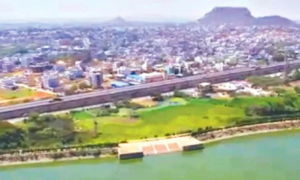
The Telangana government will prepare Telangana GIS-based master plans for several municipalities under the AMRUT 2.0 programme. The move aims to support planned urban growth and improve infrastructure management in towns.
Officials said the Telangana GIS-based master plans will use Geographic Information System (GIS) technology to digitally map land use, roads, water supply, drainage, and other civic facilities. This digital data will help authorities make better planning decisions and monitor development effectively.
Under the AMRUT 2.0 scheme of the Union government, towns with populations between 50,000 and one lakh will receive modern master plans based on GIS mapping. These plans will provide a clear roadmap for urban expansion, housing development, transport systems, and public services.
Urban planning experts believe the GIS-based system will help municipalities manage growth in a scientific and organized way. It will also support sustainable development and reduce unplanned construction in fast-growing towns.


